Projects
Topic: energy

Development and implementation of power plant visualisations
- Mission:
- Client: Universität Dortmund, Lehrstuhl Landschaftsökologie und Landschaftsplanung
- Duration: 2008/01/01 - 2012/01/31
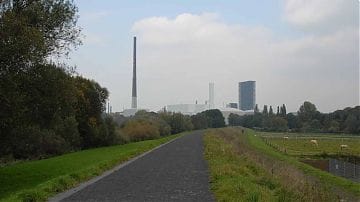
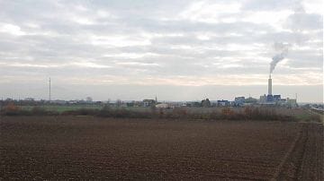
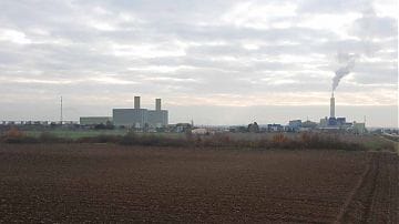
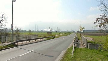
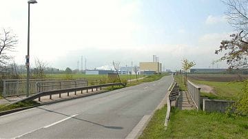
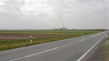
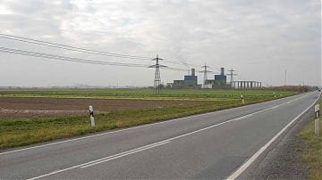
In cooperation with the Technical University of Dortmund, power plants planned for various clients throughout Germany were visualised. With the help of a standardised method, reliable spatial simulations of the power plant and the changes to the landscape to be expected in the event of implementation are created.
The simulations are based on photo documentation, the locations and viewing directions of which are precisely recorded using GPS and compass. By reading out the time of the photograph, the atmosphere is recreated in the 3D model. They are characterised by spatial and atmospheric accuracy and form a reliable basis for the evaluation of the landscape in the context of the various environmental assessments (EIA-VP, SEA).
