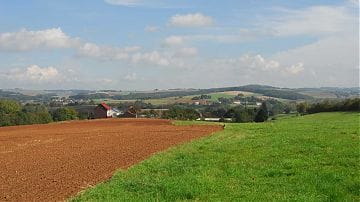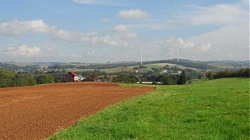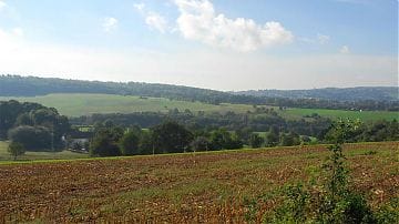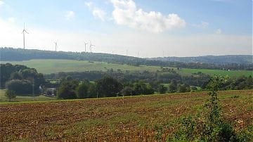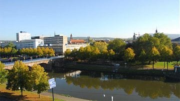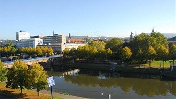
Visualisation of wind turbines in the Saarbrücken regional association
- Mission:
- Client: Regionalverband Saarbrücken, Fachdienst Regionalentwicklung und Planung
- Duration: 2013/03/01 - 2014/06/01
In spring 2013, Lenné3D developed photo-based visualisations of the wind energy planning for the Saarbrücken Regional Association. The visualisations were created as an information basis for the communication processes within the framework of the land use plan amendment procedure.
The content of the simulations is based on the visibility analysis of the TU Dortmund University (Faculty of Spatial Planning). On the basis of high-resolution data, Dr. Michael Roth calculated the visibility of wind turbines on a total of 16 potential areas and then evaluated them.
Lenné3D then simulates almost 40 perspectives realistically for representative perspectives and comprehensible visual relationships. Already during the planning phase, the planners use the simulations or the underlying 3D model to check different variants, especially the arrangement of the wind turbines on different areas.
The photos on the basis of which Lenné3D created the visualisations were taken by Prof. Michael Roth.
