GIS services
Services in detail

We support you and get the best out of
out of geodata and GIS technology!
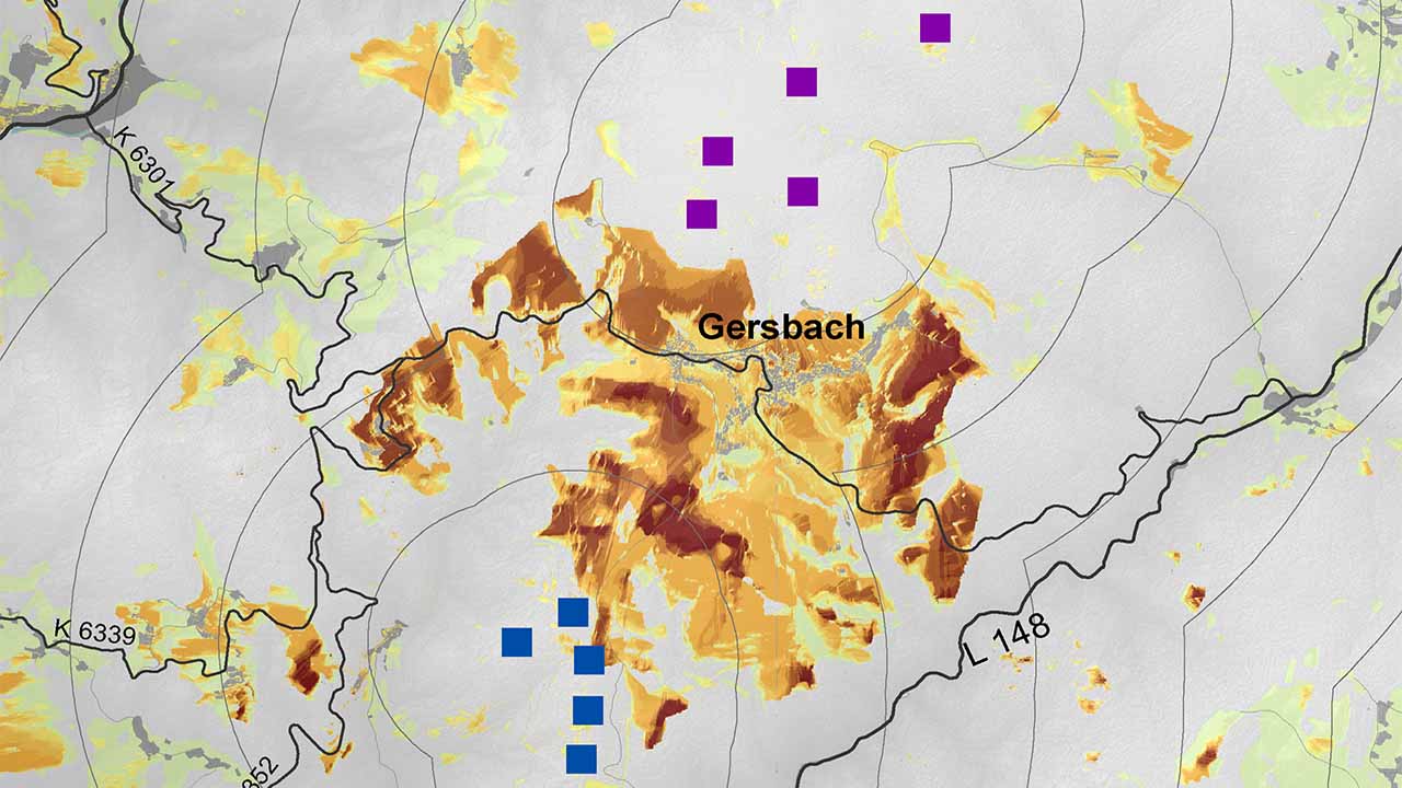
Our visualisations are based on geodata and GIS technology. We can take on the processing of terrain data, preparatory digitalisation work or complete GIS analyses for you.
Visibility analyses in the context of wind energy and the routing of power lines are currently a major topic. We are happy to take on this job as well according to the scientifically defined standards.