Creation of high-resolution visualisations of a section of the Mulde river
- Mission: 3D modelling
- Client: Leibniz Universität Hannover
- Duration: 2017/10/01 - 2017/12/31
Near-natural rivers and their floodplains are special and important habitats. In the joint project „Wilde Mulde – Revitalisation of a Wild River Landscape in Central Germany“, the Lower Mulde is being revitalised at about the level of Dessau. The sub-project „Planning and ecosystem service approach“ in turn deals with the resulting economic and social interactions.
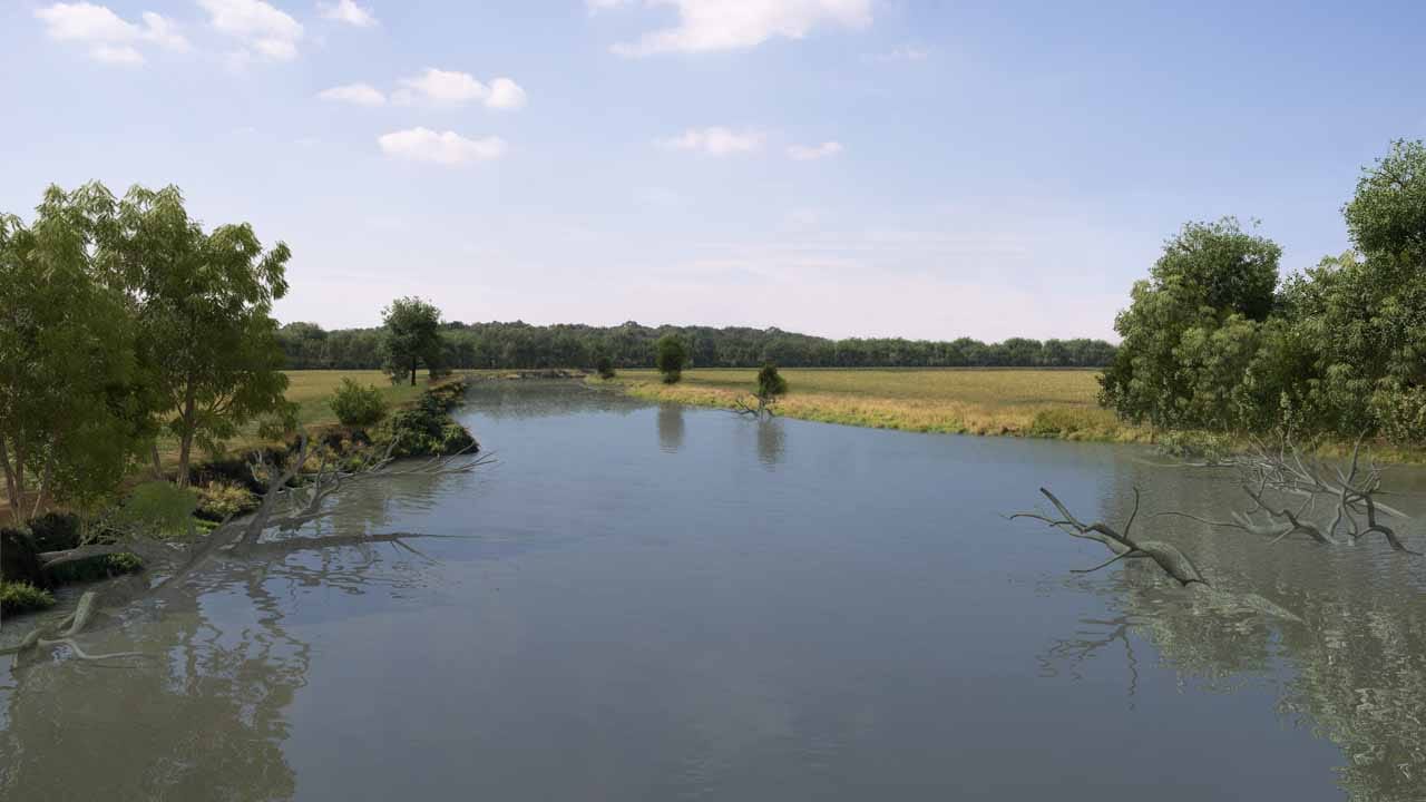
Lenné3D was commissioned to create high-resolution and very realistic visualisations of the Mulde water landscape. These visualisations will be used in an online survey at the beginning of 2018 to find out people’s preferences regarding the planned revitalisation of the Mulde, for example by introducing deadwood. The question to be investigated is how people perceive deadwood in differently shaped landscapes. Is there a certain amount of deadwood that is preferred?
For maximum realism, photo-based visualisation was chosen as the visualisation method. For this purpose, three spatially and structurally suitable points along the Mulde were identified and photo documentation was made in clear weather. The best of the three perspectives was selected and a detailed 3D model of the landscape visible in the photo was created. In the next step, four variants of this actually existing landscape were modelled in 3D. In each case, one land use was to dominate: Forest, grassland, arable land and settlement. In the last step, about eight different 3D models of trees were adapted in such a way that they could be introduced into the virtual hollow as deadwood. The client defined four levels of deadwood: none, little, medium and much.
